Our Team
Dr. Benjamin Misiuk
Principal Investigator
My primary research interest is on geospatial environmental modelling. I am keenly interested in empirical methods for mapping surficial geology at the seafloor. During my Ph.D. and postdoctoral fellowships I have developed geospatial models for predicting substrate parameters at locations throughout the northwest Atlantic and eastern Canadian Arctic. I am working on the development and application of emerging machine and deep learning techniques to improve our capacity to map the seafloor. I also work on acoustic data analysis, species distribution modelling, and benthic habitat mapping projects. Geospatial data visualization via the cartographic presentation of model predictions is extremely interesting to me and I aim to uphold the highest cartographic standards in my research group.
Brenna Bales
MSc student
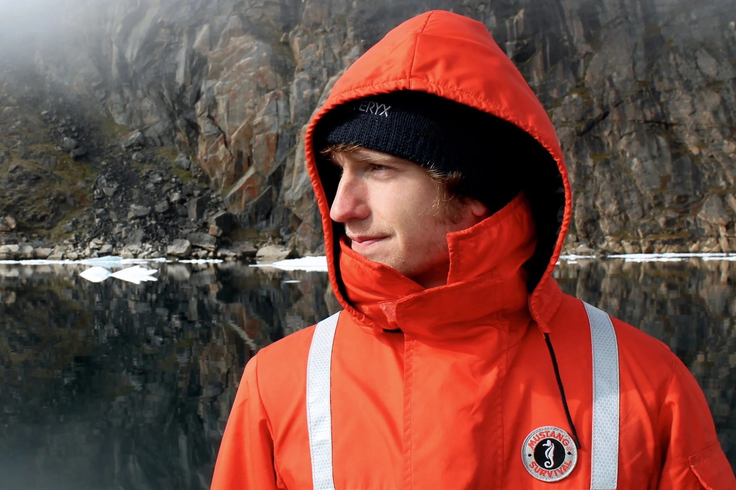
I am a passionate marine scientist and conservationist originally from Austin, Texas. I spent my undergraduate years at the University of Miami, where I interned for three years with the Shark Research and Conservation lab tagging wild sharks under the mentorship of Dr. Neil Hammerschlag and Steve Cain. There, I completed my undergraduate thesis investigating blood plasma protein reference intervals in nurse sharks. This experience fueled my fascination with marine megafauna and set the stage for a diverse career at the intersection of science, outreach, and conservation. After my academic pursuits, I ventured to the waters of the Hawaiian Islands and later the Maldives, merging science and tourism through the conservation of sharks, sea turtles, and coral reefs. My commitment to protecting marine ecosystems then took me to New England, in the United States, where I immersed myself in various offshore industries. As an observer, I collected data on marine life in contexts such as commercial fishing and geophysical surveying. Beyond science, I find joy in exploring the world as an expatriate, relishing the thrill of freediving, savoring spicy cuisines, and trying to pet every dog I meet.
Farnoosh Heidary
PhD student
My interest lies in developing deep and machine learning techniques for image processing and remote sensing, with a focus on solving environmental monitoring challenges. In 2025, I embarked on my Ph.D., transitioning my expertise in image analysis to enhancing sonar backscatter data for seabed mapping. Before this, I built extensive experience in geospatial modeling and advanced image processing, emphasizing data quality improvement and extracting meaningful insights from complex datasets. My research is dedicated to addressing challenges such as denoising, de-speckling, and artifact removal, while ensuring rigorous validation to create reliable and innovative tools for marine mapping and environmental monitoring.
I am a researcher specializing in geospatial data fusion, GIS, and machine learning for environmental applications. I am currently pursuing a PhD at Memorial University, where my research focuses on seafloor mapping in Atlantic Canada. My work integrates diverse geospatial datasets within a modeling framework to improve the accuracy of seabed characterization. My research focuses on geospatial modeling of seafloor properties, applying machine learning techniques to map seabed features and predict sediment characteristics. My research aims to develop scalable methods for combining multi-source data to support more reliable environmental monitoring and marine spatial analysis. Before my PhD, I worked on hydrological modeling, flood risk assessment, and water quality analysis using GIS and machine learning techniques. These experiences provide a strong foundation for my current work in marine geospatial modeling. I am particularly interested in advancing the use of machine learning and deep learning techniques to enhance predictive performance and better understand seafloor characteristics. Through this work, I aim to contribute to improved mapping methodologies and a deeper understanding of marine environments.
Ali Asghar Rostami
PhD student
Scout Quinn
MSc student
I'm a multidisciplinary earth scientist and geographer. Spending several years cutting brush, digging holes, and making maps as part of a land surveying crew reinforced a deep love of all things earth related. As a result, I moved from my home on the Sunshine Coast, BC (home of the Beachcombers!) to Newfoundland in 2022 to pursue a Joint Hons. BSc in Earth Sciences and Geography. My undergraduate research focused on mapping and modelling reactive aluminum in glacial tills, a critical component to soil organic carbon sequestration in boreal forests, in conjunction with a larger effort to predictively model soil organic carbon across the Island of Newfoundland. My masters work will focus on using GIS, remote sensing, and spatial modelling methods to develop a specialized provincial wildfire fuel grid. This will enable more effective predictive modelling of wildfires and support provincial wildfire response, while also fitting within the national fire management framework. In my spare time, I enjoy spending time with my dogs, reading, cutting firewood, making pottery, and spying on my pond’s resident loons.
Fathima Manooja
Undergraduate researcher
My research interests are primarily in developing simulations and creating synthetic data. I also greatly enjoy working with data in general, including developing data pipelines, analyzing data, creating data visualizations, exploring different database models, and implementing machine learning. For my honours research, I implemented task-based parallelism in an astrophysical simulation code using the numerical method of smoothed particle hydrodynamics. I am currently working on generating synthetic backscatter images of the seafloor and simulating errors within them, with the goal of using these images to train a deep learning model to detect and correct the errors. I am greatly interested in exploring different research areas and I am always excited to try new things.